Information is set to be the chariot that delivers agricultural transformation to Africa, guiding farmers towards higher productivity by pointing them to everything from ideal soils, crops, and water sources, to storage facilities and markets, using geospatial data.
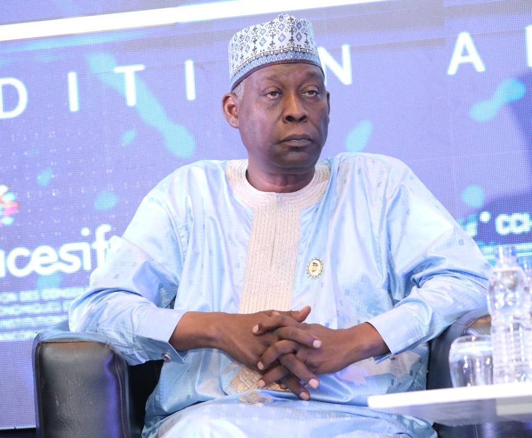
Addressing a symposium on geospatial development models at the 2017 Africa Green Revolution Forum in Abidjan, Honourable Adam Kone, Ivory Coast’s Minister of Finance pointed out the essential nature of better information to farmers.
“We agree that the biggest and a common problem across the globe is how to feed the world, but paradoxically, Africa has more than enough arable land compared to other nations, yet cannot feed ourselves because of the sub-standard farming methods,” he said.
Yet, African agricultural production needs to increase by 70 per cent to feed an additional 2.5 billion people over coming decades: a feat that can best be achieved by adopting geospatial development models, which has been described as an opportunity to modernise Africa.
Projects such as the University of Ghana’s geospatial website are now leading the way in opening access to data sets that can drive evidence-based decisions in farming systems, which, it says, hold the key to fast tracking the collection, harmonisation, packaging and dissemination of agri-related datasets to guide farmers and farm-related enterprises in determining high efficiency and increased returns on agriculture investments.
“While geospatial tools have been successfully used for natural resources, and environmental management, actual use of the technology in the agriculture sectors is slowly gaining ground in Africa,” states the university.
“The Centre for Remote Sensing and Geographic Information Services (CERSGIS), University of Ghana, is endeavouring to fill the spatial data gap in Ghana’s agriculture sector by providing a Web-based platform that guarantees access to spatial data and agro-related information by prospective investors, thus contributing to the overall goal of agricultural transformation.”
While hurdles are expected in the development of such platforms and of the geospatial development model, the symposium delegates agreed that no model has a perfect beginning. Instead, the models should be allowed flexibility and space to grow.
Policy makers also defended their slow uptake of the model saying their hesitance emanates from the need to understand better how the implementation of such policies will help them achieve their goals.
Advocates of geo spatial development models argue that the data can provide a foundation for appropriate policies for subsidies and pricing, and planning efforts for robust and resilient agricultural systems in the context of climate change, food insecurity and urban expansion.
with agrf


